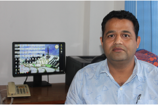
Santosh’s demand for data and information
“We need a large variety of data for analysing the various dimensions of food security across the country and to ensure we keep poverty at bay”
Nepal’s extreme climate variability, hilly terrains and prevalence of rain-fed subsistence farming mean production of food can be unstable and difficult to predict. Minimising the risks of food shortages is an important job for the government. Santosh monitors food production on a regular basis so that the government is well informed and able to take necessary decisions to ensure food security. For this, Santosh needs to monitor the four dimensions of food security: food availability, access, use and stability. He needs access to a wide variety of data to do this, including data on crop production, food consumption, stocks of main staples such as rice and wheat flour in key markets, market prices of main staples, as well as data on climate, disease, migration and remittances and more. This data is collected by district officials on a three-monthly basis and stored in the Nepal Food Security Monitoring System – NeKSAP – established in collaboration with the World Food Programme.
Examples of Santosh’s data use
- Using data to measure food security status at district level: In July 2016 Santosh used data from NeKSAP to determine the level of food security in 74 districts. Using this data Santosh and his team classified 212 Village Development Committees (VDCs) in 13 districts as highly food insecure and estimated that roughly 430,000 people in those districts required food assistance. A further 376 VDCs in 26 districts were classified as moderately food insecure, indicating that households are able to meet minimum food needs but unable to afford some essential non-food expenditures without adopting coping strategies such as selling their household assets. These findings were compiled by Santosh’s team into a tri-annual Food Security Bulletin. The Bulletin aims to inform the government of the severity of food insecurity in various parts of the country so an appropriate response can be tailored.
- Using data to boost production of specific crops: To boost food production Santosh and his team have analysed data on agricultural land cover, climate, soil quality, crop export and import and more to determine which locations in Nepal are most suited for particular crops. The Nepal government has used these findings to consolidate farms into zones of differing size (10 hectares of land, 100 hectares, 500 hectares and 1,000 hectares) to coordinate the growing of crops and produce larger harvests. For example, Jhapa district has been earmarked as a zone for rice, Kavre district for potatoes, Bara district for fishery, Kaski district for vegetables, Dang district for maize, Jumla district for apples and Kailali district for wheat. A series of grants, subsidies and technical assistance are provided to these classified areas in an attempt to improve Nepal’s agricultural self-reliance.
Challenges to Santosh having better information
“Sometimes all the data needed to analyse food security is not available for the same period of time, which makes it difficult to present accurate findings”
Incomplete information is one of the challenges that Santosh faces while estimating the level of food security. Measuring food security status requires the analysis of a wide variety of data that directly and indirectly influences agricultural production. To effectively combine the data for cross analysis Santosh needs the datasets to have similar timeframes, which unfortunately is not always possible. This means that Santosh has to base his forecasts on data from the previous year, which does not give completely accurate results.
The long time frame for collecting data is another problem for Santosh. Data from the districts is collected every three months, but Santosh finds that this does not allow him to carry out up-to-date analysis in situations where an immediate response may be necessary. Ideally he would like to see agricultural data being collected with the help of the Global Positioning System (GPS). This would enable access to real-time data through satellite transfers. It would also allow Santosh and his team to cross check data collected through field surveys with satellite data for more accuracy.
Other case studies in this series
- Using joined-up datasets to improve the targeting of health and nutrition funding in Nepal
- Using hydrological data to reduce disaster risk and enhance community resilience in Nepal
- Using supply-chain data to improve the quality of public health services in Nepal
- Using data to reduce diseases, and improve healthcare, for children in Nepal
